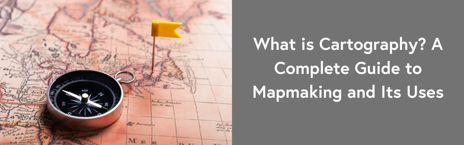
What is a cartography? Simply put, it is the art and science of mapmaking. Maps help us navigate, plan cities, track environmental changes, and even analyze business trends.
Cartography has evolved from ancient hand-drawn maps to advanced digital mapping technologies. Early civilizations created basic maps on clay tablets, while modern tools like GIS and satellite imagery have made mapping more precise and interactive. Today, cartography is essential in various industries, shaping how we understand and interact with the world.
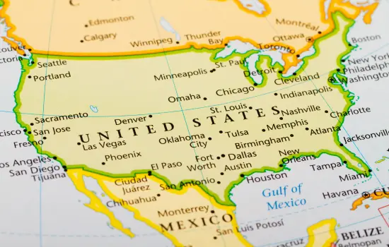
Cartography is the practice of creating maps to represent geographical areas. It combines design, geography, and technology to communicate spatial information clearly and accurately.
Cartography has a dual nature—both an art and a science. As an art, it focuses on design, colors, and symbols to make maps visually appealing and easy to understand. As a science, it relies on precise data, measurements, and mathematical projections to ensure accuracy. Together, these elements create maps that are both functional and informative, helping people navigate and analyze the world around them.
Cartography has evolved over thousands of years, from simple sketches on stone to advanced digital mapping systems. Each era brought significant advancements that shaped the way we understand geography today.
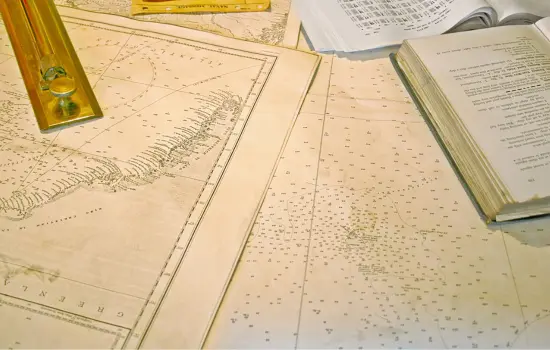
The earliest known maps date back to ancient civilizations like the Babylonians, Egyptians, and Greeks. These maps were often drawn on clay tablets, papyrus, or stone and depicted local terrains, trade routes, and settlements. Greek scholars like Ptolemy introduced the concept of latitude and longitude, laying the foundation for modern mapping techniques.
During the Middle Ages, mapmaking was influenced by religion and mythology, often depicting a world centered around religious beliefs. However, the Renaissance period brought major advancements in navigation. Explorers like Christopher Columbus and Vasco da Gama relied on more accurate nautical charts to navigate uncharted waters. The development of the printing press allowed maps to be reproduced and distributed widely, making geographical knowledge more accessible.
The 19th and 20th centuries saw cartography evolve into a precise science. The introduction of aerial photography, satellite imaging, and Geographic Information Systems (GIS) revolutionized mapmaking. Today, digital mapping tools, GPS, and AI-driven technologies create highly detailed and interactive maps used for everything from urban planning to environmental monitoring.
From ancient hand-drawn maps to cutting-edge digital cartography, the field continues to evolve, shaping how we explore and understand the world.
Here’s a deeper look at the different types of cartography:
Each type of cartography has a unique role in helping people understand and interact with the world around them.
A map includes several key elements that work together to convey geographic information accurately and clearly. These elements help users understand distances, locations, and features with ease.
The scale of a map shows the relationship between distances on the map and actual distances on the ground. A common scale might be 1:100,000, meaning one unit on the map equals 100,000 units in real life. Understanding scale is crucial for navigating the map and estimating distances. It also helps users gauge the size of an area being represented. For larger areas, such as countries or continents, the scale is often smaller, while more detailed maps, like city maps, use larger scales.
Projection is the method used to convert the Earth’s spherical surface onto a flat map. Since the Earth is a globe, this process inevitably causes some distortion in shape, size, or distance. Different projections are used for different purposes. For instance, the Mercator projection distorts areas near the poles but preserves straight-line navigation. The Robinson projection provides a more balanced representation, reducing distortion across continents. The choice of projection affects how the map is perceived and interpreted.
Symbols are used to represent real-world features on a map, such as roads, rivers, or mountains. These symbols are crucial for interpreting the map accurately. However, not everyone will immediately understand what each symbol means. That’s where the legend (or key) comes in. The legend explains what each symbol represents, ensuring clarity and preventing confusion. A good map always includes a legend to provide context and help users understand the map’s information.
Colors and typography enhance a map’s visual appeal and readability. Different colors are used to represent various features, such as blue for water bodies, green for forests, and brown for mountains. Colors not only help differentiate features but also guide the reader’s attention to important areas. Typography, which includes the font size, style, and layout, contributes to readability. Proper use of typography makes map labels clear and easy to read, helping users quickly locate key information.
Together, these elements—scale, projection, symbols, legends, colors, and typography—combine to create a map that is both functional and visually appealing. Each element serves a specific purpose in making geographic information accessible and easy to understand.
Technology has revolutionized cartography, enabling the creation of more accurate, detailed, and interactive maps. Here are some key technological advancements that have shaped modern mapmaking:
Geographic Information Systems (GIS) are powerful tools that allow cartographers to capture, analyze, and display geographic data. GIS combines spatial data with descriptive information, creating maps that reveal patterns and trends. It is widely used in urban planning, environmental management, and disaster response. For example, GIS helps track population growth, monitor deforestation, and plan infrastructure projects.
Satellite imagery has transformed the accuracy and scope of modern mapping. Satellites provide high-resolution images of the Earth’s surface, which can be used to create detailed maps of vast areas. Remote sensing technology captures data about the Earth’s surface without physical contact, offering insights into everything from land use to climate change. This data is invaluable for natural resource management, agriculture, and environmental conservation.
Artificial intelligence (AI) and machine learning are enhancing mapping by automating tasks and improving accuracy. These technologies can process large amounts of data quickly, identifying patterns and trends that might be overlooked by humans. For example, AI can automatically detect roads, buildings, and other features in satellite images. Machine learning algorithms are also used in predicting changes in geographic features, such as urban growth or deforestation.
Modern technology has also led to the creation of interactive and 3D maps. Tools like Google Maps and OpenStreetMap allow users to zoom, pan, and interact with maps in real-time. These maps often include additional layers of information, such as traffic conditions, public transit routes, and business locations. 3D mapping takes this a step further, allowing users to visualize cities, landscapes, and buildings in three dimensions. Interactive and 3D maps make it easier for users to navigate and understand the environment.
The integration of these technologies has made cartography more dynamic and accessible. Whether through GIS, satellite imagery, AI, or interactive maps, technology continues to improve the way we create, use, and interpret maps.
Cartography plays a vital role in numerous industries, providing valuable insights and aiding decision-making processes. Here are some key applications across various sectors:
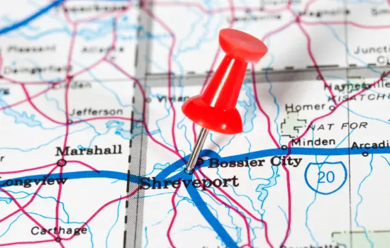
Cartography is crucial in navigation and transportation. GPS technology and digital maps help people travel efficiently by providing directions and real-time updates. City planning also benefits from cartography by visualizing road networks, public transport routes, and traffic flow patterns. Maps help ensure that transportation systems are optimized for both efficiency and safety.
Environmental scientists use maps to track and understand natural phenomena. Climate change mapping helps monitor rising temperatures, changing weather patterns, and melting ice caps. Cartography is also used in natural disaster tracking, such as mapping flood zones, wildfire risks, or hurricane paths. These maps are vital for planning responses and minimizing damage during environmental crises.
Cartography plays a significant role in urban planning and the development of infrastructure. Maps are used to design cities, plan utilities, and ensure sustainable growth. In modern urban planning, smart cities are being developed with the help of geographic data and mapping technologies. These maps guide the construction of roads, buildings, and public spaces, ensuring that urban development meets the needs of growing populations.
In the military and defense sectors, maps are essential for strategy and surveillance. Cartography helps plan military operations by providing detailed, accurate maps of terrain, roads, and enemy positions. Maps also play a role in surveillance and intelligence gathering, helping military forces track movements and identify strategic locations.
Cartography is used in education and research to study geography, history, and environmental science. Historical maps offer insights into past civilizations, migration patterns, and territorial boundaries. In academic research, geospatial studies rely heavily on maps to analyze data, identify trends, and support hypothesis testing.
These diverse applications highlight the importance of cartography across industries, making it a fundamental tool in decision-making, planning, and understanding the world around us.
Cartography continues to evolve with technology, but it also faces new challenges. As the field progresses, there are several important issues and trends to consider:
With the rise of digital mapping, accuracy has become a significant concern. Incorrect or outdated information can lead to misguiding users, especially in applications like navigation. Ethical issues also arise when maps are used to misrepresent or distort information for political or commercial purposes. Ensuring the accuracy and fairness of digital maps is essential to maintaining trust and reliability.
Big data has greatly impacted cartography by providing vast amounts of information to be mapped and analyzed. This data can come from various sources, such as satellites, sensors, and user-generated content. While big data can improve map accuracy and detail, it also presents challenges in terms of data management, privacy concerns, and the need for advanced analytical tools to process this information effectively.
Augmented reality (AR) and virtual reality (VR) are transforming how we interact with maps. AR overlays digital information onto the physical world, providing real-time navigation and enhanced experiences. VR, on the other hand, allows users to explore environments in three dimensions, making it an exciting tool for urban planning and tourism. As these technologies continue to advance, they will likely play an even larger role in map visualization and interaction.
Artificial intelligence is driving innovation in automated map generation. AI systems can analyze data, identify patterns, and create maps without human intervention. This could streamline the mapping process, especially in areas with rapid change, such as urban expansion or environmental shifts. As AI technology improves, it will make map creation more efficient and timely, offering real-time updates and increasingly accurate representations of dynamic environments.
The future of cartography will likely see a continued focus on improving accuracy, embracing new technologies, and finding innovative ways to make maps more interactive and accessible to users. As these trends develop, the role of cartography in various industries will only grow.
Cartography has evolved from simple hand-drawn maps to sophisticated digital tools that shape our understanding of the world. With advancements in GIS, satellite imagery, and AI, maps are more accurate and accessible than ever. While challenges like data accuracy and ethical concerns remain, emerging technologies like AR, VR, and AI-driven automation promise to revolutionize mapmaking. As cartography continues to grow, it will remain an essential tool in navigation, planning, and decision-making, providing valuable insights for the future.